Guangzhou Hosts Drone Mapping Skills Competition
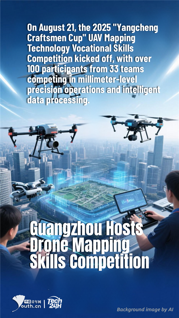
【Tech 24H】On August 21, the 2025 "Yangcheng Craftsmen Cup" UAV Mapping Technology Vocational Skills Competition kicked off, with over 100 participants from 33 teams competing in millimeter-level precision operations and intelligent data processing. Equipped with LiDAR and high-resolution cameras, drones can quickly generate centimeter-level topographic maps, improving operational efficiency by 5-10 times compared to traditional methods and driving the intelligent transformation of the surveying and mapping industry.
Editor:Tang Ruohan